Footpath beside Plurenden Wood
Introduction
The photograph on this page of Footpath beside Plurenden Wood by David Anstiss as part of the Geograph project.
The Geograph project started in 2005 with the aim of publishing, organising and preserving representative images for every square kilometre of Great Britain, Ireland and the Isle of Man.

There are currently over 7.5m images from over 14,400 individuals and you can help contribute to the project by visiting https://www.geograph.org.uk
Footpath beside Plurenden Wood
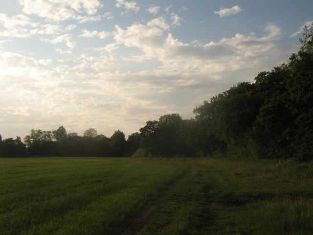
Image: © David Anstiss Taken: 13 Jun 2010
A footpath from Plurenden Road heads beside Pillreed Shaw (band of trees on the right), then past Plurenden Wood (in the background), heading towards Chequertree Farm.
Images are licensed for reuse under creativecommons.org/licenses/by-sa/2.0
Image Location


Leaflet Map data © OpenStreetMap
Latitude
51.104778
Longitude
0.7506