Heol-y-mynydd common land
Introduction
The photograph on this page of Heol-y-mynydd common land by Jeremy Bolwell as part of the Geograph project.
The Geograph project started in 2005 with the aim of publishing, organising and preserving representative images for every square kilometre of Great Britain, Ireland and the Isle of Man.

There are currently over 7.5m images from over 14,400 individuals and you can help contribute to the project by visiting https://www.geograph.org.uk
Heol-y-mynydd common land
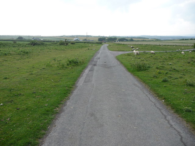
Image: © Jeremy Bolwell Taken: 19 Jun 2010
Sheep and their maturing lambs graze beside the road and in the distance a farmer prepares to enter a field.
Images are licensed for reuse under creativecommons.org/licenses/by-sa/2.0
Image Location
Latitude
51.463941
Longitude
-3.606602