Angmering Community entre
Introduction
The photograph on this page of Angmering Community entre by Robin Webster as part of the Geograph project.
The Geograph project started in 2005 with the aim of publishing, organising and preserving representative images for every square kilometre of Great Britain, Ireland and the Isle of Man.

There are currently over 7.5m images from over 14,400 individuals and you can help contribute to the project by visiting https://www.geograph.org.uk
Angmering Community entre
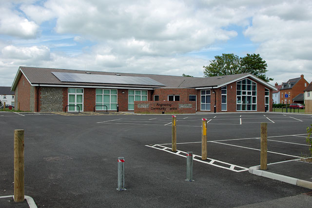
Image: © Robin Webster Taken: 20 Jun 2010
Very recently completed, yet the C has dropped off the name - or perhaps it was never fixed on?
Images are licensed for reuse under creativecommons.org/licenses/by-sa/2.0
Image Location
Latitude
50.825194
Longitude
-0.480781