Information board on the Saxon Shore Way at Faversham
Introduction
The photograph on this page of Information board on the Saxon Shore Way at Faversham by Marathon as part of the Geograph project.
The Geograph project started in 2005 with the aim of publishing, organising and preserving representative images for every square kilometre of Great Britain, Ireland and the Isle of Man.

There are currently over 7.5m images from over 14,400 individuals and you can help contribute to the project by visiting https://www.geograph.org.uk
Information board on the Saxon Shore Way at Faversham
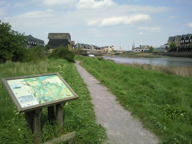
Image: © Marathon Taken: 14 May 2010
Walking around Faversham, the large number of information boards help the visitor learn more about the town and its history. This board, on the west side of Faversham Creek leading out of the town, gives information about the creeks followed by the Saxon Shore Way.
Images are licensed for reuse under creativecommons.org/licenses/by-sa/2.0
Image Location
Latitude
51.320616
Longitude
0.893256