Sproxton: pantiled outbuildings
Introduction
The photograph on this page of Sproxton: pantiled outbuildings by John Sutton as part of the Geograph project.
The Geograph project started in 2005 with the aim of publishing, organising and preserving representative images for every square kilometre of Great Britain, Ireland and the Isle of Man.

There are currently over 7.5m images from over 14,400 individuals and you can help contribute to the project by visiting https://www.geograph.org.uk
Sproxton: pantiled outbuildings
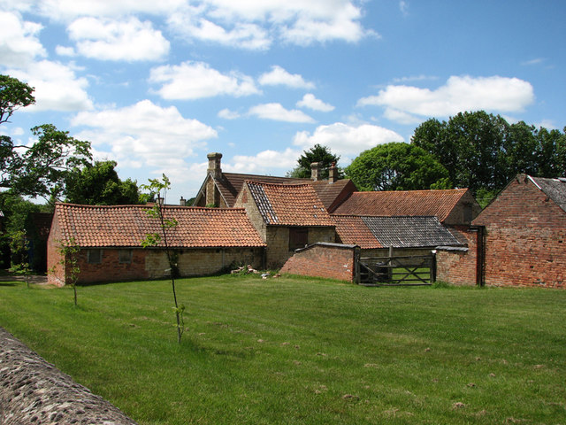
Image: © John Sutton Taken: 17 Jun 2010
A mixture of plain clay and glazed Bottesford blues on the corner of Stow Hill and Buckminster Road.
Images are licensed for reuse under creativecommons.org/licenses/by-sa/2.0
Image Location
Latitude
52.809444
Longitude
-0.729596