Calfway Farm
Introduction
The photograph on this page of Calfway Farm by Rob Farrow as part of the Geograph project.
The Geograph project started in 2005 with the aim of publishing, organising and preserving representative images for every square kilometre of Great Britain, Ireland and the Isle of Man.

There are currently over 7.5m images from over 14,400 individuals and you can help contribute to the project by visiting https://www.geograph.org.uk
Calfway Farm
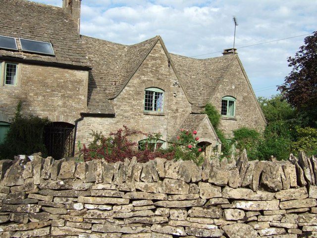
Image: © Rob Farrow Taken: 24 Jun 2006
A classic Cotswold stone wall in front of a similar stoned farmhouse. The lane here is marked on the map as a yellow (drivable) road, but a sign just before this farm suggests that it's unsuitable for motors. Believe the map, it's perfectly passable.
Images are licensed for reuse under creativecommons.org/licenses/by-sa/2.0
Image Location
Latitude
51.761609
Longitude
-2.131805