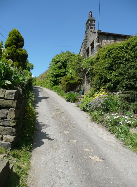
Eastwood Lane, Higher Eastwood, Stansfield
Introduction
The photograph on this page of Eastwood Lane, Higher Eastwood, Stansfield by Humphrey Bolton as part of the Geograph project.
The Geograph project started in 2005 with the aim of publishing, organising and preserving representative images for every square kilometre of Great Britain, Ireland and the Isle of Man.
There are currently over 7.5m images from over 14,400 individuals and you can help contribute to the project by visiting https://www.geograph.org.uk

Image: © Humphrey Bolton Taken: 17 Jun 2010
Very steep as it climbs up from the hamlet. According to the Charlestown History Group website http://charlestownhistory.org.uk/eastwood/highereastwood.html there was a tollhouse in the hamlet at one time. The tolls were levied on cartloads of stone travelling from quarries to the canal or railway in the valley.

