Hall Farm, Brinsley, Nottinghamshire
Introduction
The photograph on this page of Hall Farm, Brinsley, Nottinghamshire by Alan Slater as part of the Geograph project.
The Geograph project started in 2005 with the aim of publishing, organising and preserving representative images for every square kilometre of Great Britain, Ireland and the Isle of Man.

There are currently over 7.5m images from over 14,400 individuals and you can help contribute to the project by visiting https://www.geograph.org.uk
Hall Farm, Brinsley, Nottinghamshire
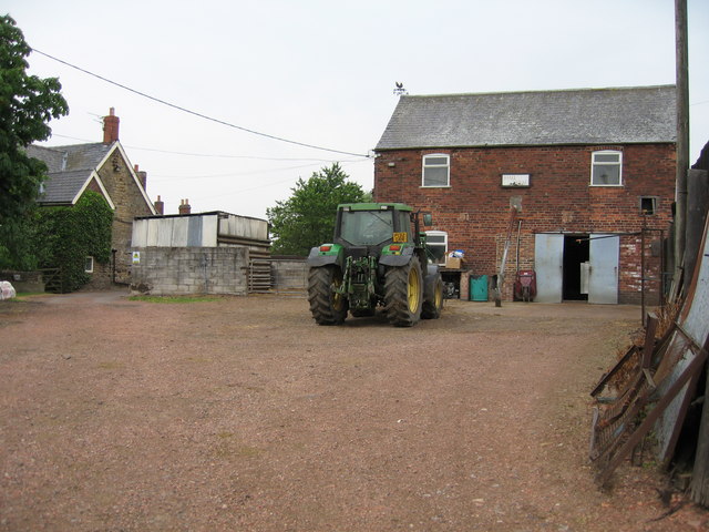
Image: © Alan Slater Taken: 26 Jun 2006
Hall Farm is a mixed farm. The refrigerated bulk tank that holds the milk from the farm's herd of Friesians, whilst awaiting collection by lorry tanker, can just be seen between the two steel doors. The farm is sited on a spur overlooking the Erewash Valley. The River Erewash forms the border between the counties of Nottinghamshire to the east and Derbyshire to the west.
Images are licensed for reuse under creativecommons.org/licenses/by-sa/2.0
Image Location
Latitude
53.038873
Longitude
-1.324062