North end of South Staney Hill, Lerwick
Introduction
The photograph on this page of North end of South Staney Hill, Lerwick by Mike Pennington as part of the Geograph project.
The Geograph project started in 2005 with the aim of publishing, organising and preserving representative images for every square kilometre of Great Britain, Ireland and the Isle of Man.

There are currently over 7.5m images from over 14,400 individuals and you can help contribute to the project by visiting https://www.geograph.org.uk
North end of South Staney Hill, Lerwick
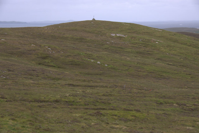
Image: © Mike Pennington Taken: 19 Jun 2010
Staney Hill is the hill to the west of Lerwick and which currently effectively forms the boundary of the town.
Images are licensed for reuse under creativecommons.org/licenses/by-sa/2.0
Image Location
Latitude
60.155938
Longitude
-1.173391