Gantry signs span Rivacre Road and M53
Introduction
The photograph on this page of Gantry signs span Rivacre Road and M53 by John Brightley as part of the Geograph project.
The Geograph project started in 2005 with the aim of publishing, organising and preserving representative images for every square kilometre of Great Britain, Ireland and the Isle of Man.

There are currently over 7.5m images from over 14,400 individuals and you can help contribute to the project by visiting https://www.geograph.org.uk
Gantry signs span Rivacre Road and M53
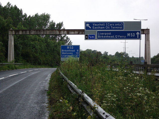
Image: © John Brightley Taken: 13 Jun 2010
All the signs refer to the M53, which is behind the fence on the right, not Rivacre Road on the left.
Images are licensed for reuse under creativecommons.org/licenses/by-sa/2.0
Image Location
Latitude
53.295994
Longitude
-2.936472