Croydon: Towpath Way
Introduction
The photograph on this page of Croydon: Towpath Way by Dr Neil Clifton as part of the Geograph project.
The Geograph project started in 2005 with the aim of publishing, organising and preserving representative images for every square kilometre of Great Britain, Ireland and the Isle of Man.

There are currently over 7.5m images from over 14,400 individuals and you can help contribute to the project by visiting https://www.geograph.org.uk
Croydon: Towpath Way
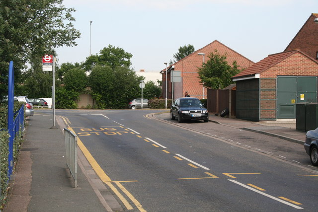
Image: © Dr Neil Clifton Taken: 14 Jun 2010
This road, so named because it does roughly overlie the route of the Croydon Canal towpath, joins Davidson Road at a T-junction from which this photograph was taken. At the roundabout seen here, Towpath Way performs a ninety-degree right turn, becoming a long cul-de-sac ending below the railway bridge carrying Tennison Road. Bus route 410, which runs along Davidson Road, performs a fifty-yard double-run along the bit of Towpath Way seen here, solely for the purpose of providing bus stops, in both directions, which cannot be sited on Davidson Road itself because of parked-car problems.
Images are licensed for reuse under creativecommons.org/licenses/by-sa/2.0
Image Location
Latitude
51.389
Longitude
-0.07987