Housing Development, River Exe, Exeter
Introduction
The photograph on this page of Housing Development, River Exe, Exeter by Tom Jolliffe as part of the Geograph project.
The Geograph project started in 2005 with the aim of publishing, organising and preserving representative images for every square kilometre of Great Britain, Ireland and the Isle of Man.

There are currently over 7.5m images from over 14,400 individuals and you can help contribute to the project by visiting https://www.geograph.org.uk
Housing Development, River Exe, Exeter
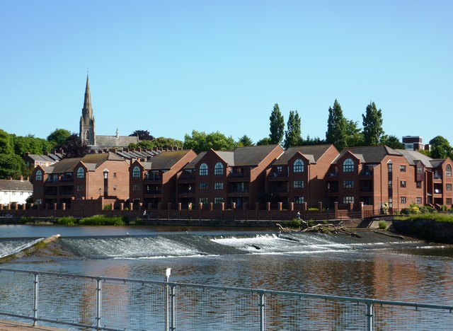
Image: © Tom Jolliffe Taken: 16 Jun 2010
This housing development overlooks the weir on the River Exe.
Images are licensed for reuse under creativecommons.org/licenses/by-sa/2.0
Image Location
Latitude
50.71468
Longitude
-3.524605