Hay baling at Lower Farm
Introduction
The photograph on this page of Hay baling at Lower Farm by Rob Farrow as part of the Geograph project.
The Geograph project started in 2005 with the aim of publishing, organising and preserving representative images for every square kilometre of Great Britain, Ireland and the Isle of Man.

There are currently over 7.5m images from over 14,400 individuals and you can help contribute to the project by visiting https://www.geograph.org.uk
Hay baling at Lower Farm
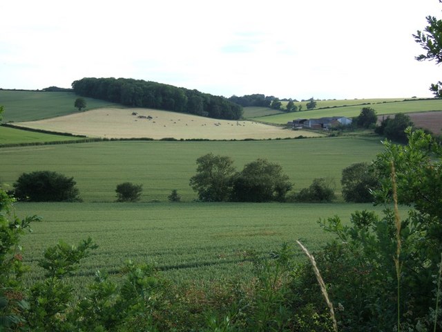
Image: © Rob Farrow Taken: 23 Jun 2006
The light-coloured field is a scene of activity as one tractor picks up the rolls of hay and loads them onto the flatbed trailer of another tractor. Lower Farm is to the right. Photo taken from a lay-by on the A41 dual carriageway near Bourne End. This is just outside the square, so image is supplemental.
Images are licensed for reuse under creativecommons.org/licenses/by-sa/2.0
Image Location
Latitude
51.741901
Longitude
-0.545828