Demolition of The Coaching Inn
Introduction
The photograph on this page of Demolition of The Coaching Inn by Robert Wade as part of the Geograph project.
The Geograph project started in 2005 with the aim of publishing, organising and preserving representative images for every square kilometre of Great Britain, Ireland and the Isle of Man.

There are currently over 7.5m images from over 14,400 individuals and you can help contribute to the project by visiting https://www.geograph.org.uk
Demolition of The Coaching Inn
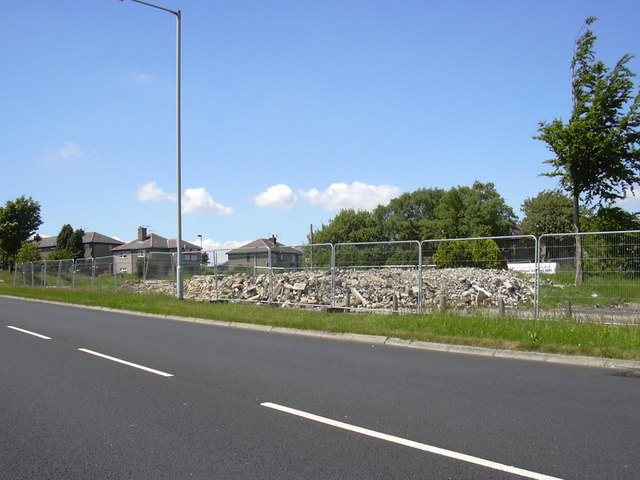
Image: © Robert Wade Taken: 17 Jun 2010
Please see http://www.geograph.org.uk/photo/124141 for a view of the pub when it was open
Images are licensed for reuse under creativecommons.org/licenses/by-sa/2.0
Image Location
Latitude
53.774363
Longitude
-2.246377