Woodside Farm
Introduction
The photograph on this page of Woodside Farm by Bill Boaden as part of the Geograph project.
The Geograph project started in 2005 with the aim of publishing, organising and preserving representative images for every square kilometre of Great Britain, Ireland and the Isle of Man.

There are currently over 7.5m images from over 14,400 individuals and you can help contribute to the project by visiting https://www.geograph.org.uk
Woodside Farm
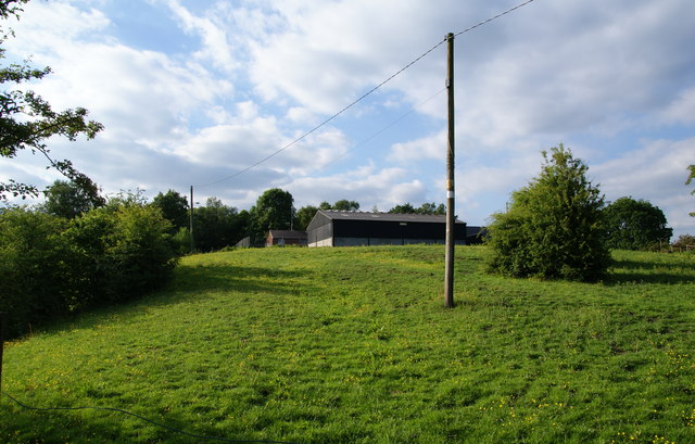
Image: © Bill Boaden Taken: 16 Jun 2010
This farm is sandwiched between the housing estates of Hollins and Hopwood Hall College to the north.
Images are licensed for reuse under creativecommons.org/licenses/by-sa/2.0
Image Location
Latitude
53.567737
Longitude
-2.190967