Track Through Westerwood Farm
Introduction
The photograph on this page of Track Through Westerwood Farm by Texas Radio and The Big Beat as part of the Geograph project.
The Geograph project started in 2005 with the aim of publishing, organising and preserving representative images for every square kilometre of Great Britain, Ireland and the Isle of Man.

There are currently over 7.5m images from over 14,400 individuals and you can help contribute to the project by visiting https://www.geograph.org.uk
Track Through Westerwood Farm
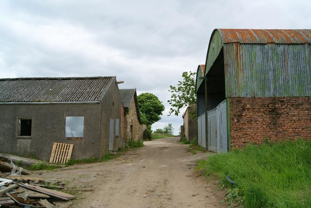
Image: © Texas Radio and The Big Beat Taken: 12 Jun 2010
Track through the derelict farm. The main farm buildings are on the left with the barn and byre on the right. More recently the farm was a youth centre. This is evident from some of the signage and also things like the toilet and shower blocks.
Images are licensed for reuse under creativecommons.org/licenses/by-sa/2.0
Image Location


Leaflet Map data © OpenStreetMap
Latitude
55.973457
Longitude
-3.987229