Lane to Hare Edge
Introduction
The photograph on this page of Lane to Hare Edge by Andrew Hill as part of the Geograph project.
The Geograph project started in 2005 with the aim of publishing, organising and preserving representative images for every square kilometre of Great Britain, Ireland and the Isle of Man.

There are currently over 7.5m images from over 14,400 individuals and you can help contribute to the project by visiting https://www.geograph.org.uk
Lane to Hare Edge
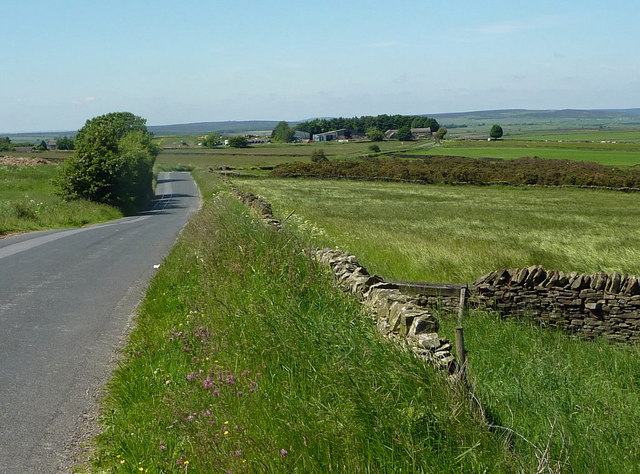
Image: © Andrew Hill Taken: 16 Jun 2010
Looking along the lane at an altitude of almost 1,000 ft, with fine views down the gentle hillsides east towards Chesterfield.
Images are licensed for reuse under creativecommons.org/licenses/by-sa/2.0
Image Location
Latitude
53.246125
Longitude
-1.543493