Five way junction
Introduction
The photograph on this page of Five way junction by Robin Webster as part of the Geograph project.
The Geograph project started in 2005 with the aim of publishing, organising and preserving representative images for every square kilometre of Great Britain, Ireland and the Isle of Man.

There are currently over 7.5m images from over 14,400 individuals and you can help contribute to the project by visiting https://www.geograph.org.uk
Five way junction
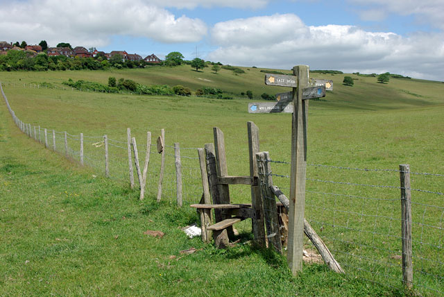
Image: © Robin Webster Taken: 15 Jun 2010
Over the stile is the footpath up Pea Down. Fortunately it didn't, although very windy.
Images are licensed for reuse under creativecommons.org/licenses/by-sa/2.0
Image Location
Latitude
50.763213
Longitude
0.21658