Western section of Wentwood Road, Caerleon
Introduction
The photograph on this page of Western section of Wentwood Road, Caerleon by Jaggery as part of the Geograph project.
The Geograph project started in 2005 with the aim of publishing, organising and preserving representative images for every square kilometre of Great Britain, Ireland and the Isle of Man.

There are currently over 7.5m images from over 14,400 individuals and you can help contribute to the project by visiting https://www.geograph.org.uk
Western section of Wentwood Road, Caerleon
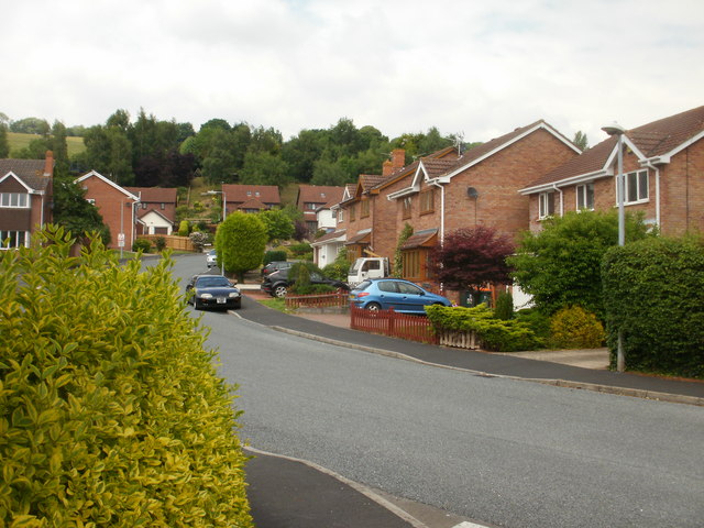
Image: © Jaggery Taken: 14 Jun 2010
Wentwood Road traces a roughly circular route on the south side of Pillmawr Road. Numerous cul-de-sacs connect to it. This view is of houses on Wentwood Road between Chestnut Grove and Silver Birch Close.
Images are licensed for reuse under creativecommons.org/licenses/by-sa/2.0
Image Location
Latitude
51.611019
Longitude
-2.981969