Tanyard Lane, Kington
Introduction
The photograph on this page of Tanyard Lane, Kington by Philip Pankhurst as part of the Geograph project.
The Geograph project started in 2005 with the aim of publishing, organising and preserving representative images for every square kilometre of Great Britain, Ireland and the Isle of Man.

There are currently over 7.5m images from over 14,400 individuals and you can help contribute to the project by visiting https://www.geograph.org.uk
Tanyard Lane, Kington
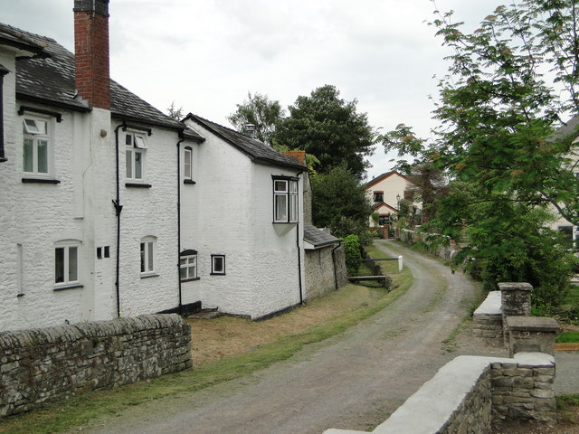
Image: © Philip Pankhurst Taken: 6 Jun 2010
Just off Bridge Street, next to the River Arrow, which after heavy rainfall gets a lot closer.
Images are licensed for reuse under creativecommons.org/licenses/by-sa/2.0
Image Location
Latitude
52.201892
Longitude
-3.027136