Cycle path and play area, Hazel Farm
Introduction
The photograph on this page of Cycle path and play area, Hazel Farm by David Martin as part of the Geograph project.
The Geograph project started in 2005 with the aim of publishing, organising and preserving representative images for every square kilometre of Great Britain, Ireland and the Isle of Man.

There are currently over 7.5m images from over 14,400 individuals and you can help contribute to the project by visiting https://www.geograph.org.uk
Cycle path and play area, Hazel Farm
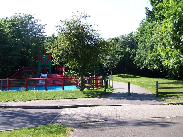
Image: © David Martin Taken: 13 Jun 2010
This extensive area of housing is served by a network of paths, separating pedestrians and cyclists from vehicle traffic
Images are licensed for reuse under creativecommons.org/licenses/by-sa/2.0
Image Location
Latitude
50.9177
Longitude
-1.514