Fields at Roberthill
Introduction
The photograph on this page of Fields at Roberthill by M J Richardson as part of the Geograph project.
The Geograph project started in 2005 with the aim of publishing, organising and preserving representative images for every square kilometre of Great Britain, Ireland and the Isle of Man.

There are currently over 7.5m images from over 14,400 individuals and you can help contribute to the project by visiting https://www.geograph.org.uk
Fields at Roberthill
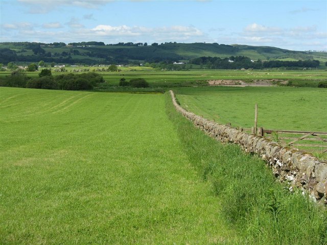
Image: © M J Richardson Taken: 12 Jun 2010
Sloping down to the Annan Water, with plenty more rich grazing land on the other side
Images are licensed for reuse under creativecommons.org/licenses/by-sa/2.0
Image Location
Latitude
55.100409
Longitude
-3.393047