Romsey Town Council Allotments
Introduction
The photograph on this page of Romsey Town Council Allotments by David Martin as part of the Geograph project.
The Geograph project started in 2005 with the aim of publishing, organising and preserving representative images for every square kilometre of Great Britain, Ireland and the Isle of Man.

There are currently over 7.5m images from over 14,400 individuals and you can help contribute to the project by visiting https://www.geograph.org.uk
Romsey Town Council Allotments
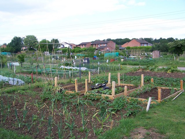
Image: © David Martin Taken: 12 Jun 2010
The housing in the background is on the far side of the Romsey to Southampton railway line
Images are licensed for reuse under creativecommons.org/licenses/by-sa/2.0
Image Location
Latitude
50.985202
Longitude
-1.485801