Kinnard Crescent, Southway
Introduction
The photograph on this page of Kinnard Crescent, Southway by Tony Atkin as part of the Geograph project.
The Geograph project started in 2005 with the aim of publishing, organising and preserving representative images for every square kilometre of Great Britain, Ireland and the Isle of Man.

There are currently over 7.5m images from over 14,400 individuals and you can help contribute to the project by visiting https://www.geograph.org.uk
Kinnard Crescent, Southway
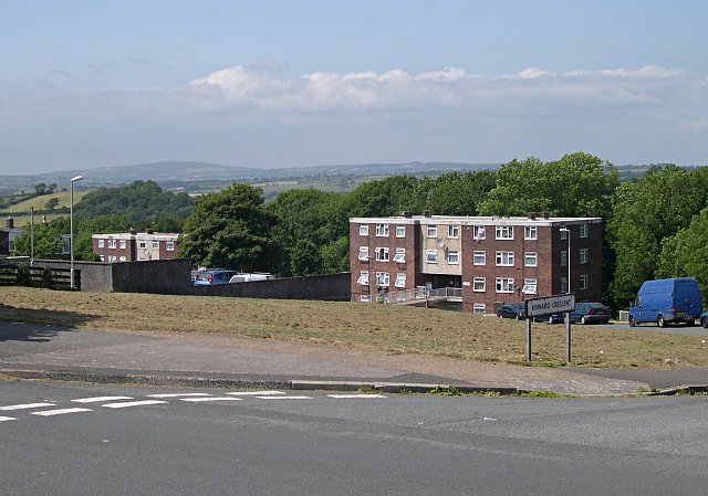
Image: © Tony Atkin Taken: 24 Jun 2006
When the Southway Estate was built in the 1950's and 60's, so many different styles of housing were used it was almost as if the architects were trying everything out to see what they liked best. This road was lined with a number of blocks of flats of which two are pictured here.
Images are licensed for reuse under creativecommons.org/licenses/by-sa/2.0
Image Location
Latitude
50.431133
Longitude
-4.130238