Pentre Lane narrows to a single track
Introduction
The photograph on this page of Pentre Lane narrows to a single track by Jaggery as part of the Geograph project.
The Geograph project started in 2005 with the aim of publishing, organising and preserving representative images for every square kilometre of Great Britain, Ireland and the Isle of Man.

There are currently over 7.5m images from over 14,400 individuals and you can help contribute to the project by visiting https://www.geograph.org.uk
Pentre Lane narrows to a single track
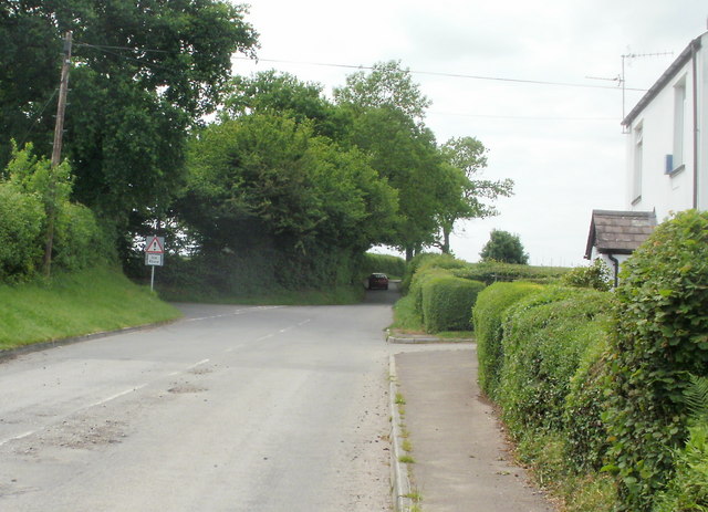
Image: © Jaggery Taken: 11 Jun 2010
Just beyond Eureka House,http://www.geograph.org.uk/photo/1909379 Pentre Lane, heading west, narrows to a single-track lane. On the left is the turning for Trawsmawr Lane.http://www.geograph.org.uk/photo/1909366
Images are licensed for reuse under creativecommons.org/licenses/by-sa/2.0
Image Location
Latitude
51.622335
Longitude
-3.02555