Huts in Merryfield Park
Introduction
The photograph on this page of Huts in Merryfield Park by Peter Facey as part of the Geograph project.
The Geograph project started in 2005 with the aim of publishing, organising and preserving representative images for every square kilometre of Great Britain, Ireland and the Isle of Man.

There are currently over 7.5m images from over 14,400 individuals and you can help contribute to the project by visiting https://www.geograph.org.uk
Huts in Merryfield Park
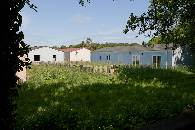
Image: © Peter Facey Taken: 6 Jun 2010
These former RAF camp huts, at the eastern end of the park, seemed to be in use at time of photographing, whereas all those to the west of them were derelict.
Images are licensed for reuse under creativecommons.org/licenses/by-sa/2.0
Image Location
Latitude
50.782022
Longitude
-1.747465