Sheffield, Queens Road wall
Introduction
The photograph on this page of Sheffield, Queens Road wall by Roger Templeman as part of the Geograph project.
The Geograph project started in 2005 with the aim of publishing, organising and preserving representative images for every square kilometre of Great Britain, Ireland and the Isle of Man.

There are currently over 7.5m images from over 14,400 individuals and you can help contribute to the project by visiting https://www.geograph.org.uk
Sheffield, Queens Road wall
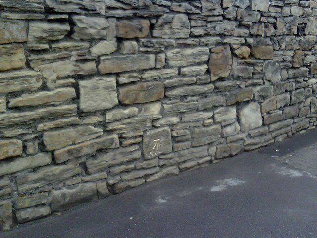
Image: © Roger Templeman Taken: 10 Jun 2010
Ordnance Survey cut mark benchmark on stone in rough wall on east side of Queens Road. The mark was levelled at 57.2719m above Newlyn datum and verified in 1961. More information on the mark may be found on the Bench Mark Database at http://www.bench-marks.org.uk/bm34636
Images are licensed for reuse under creativecommons.org/licenses/by-sa/2.0
Image Location
Latitude
53.373162
Longitude
-1.463076