Rolling hills
Introduction
The photograph on this page of Rolling hills by Philip Halling as part of the Geograph project.
The Geograph project started in 2005 with the aim of publishing, organising and preserving representative images for every square kilometre of Great Britain, Ireland and the Isle of Man.

There are currently over 7.5m images from over 14,400 individuals and you can help contribute to the project by visiting https://www.geograph.org.uk
Rolling hills
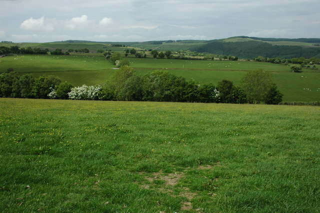
Image: © Philip Halling Taken: 6 Jun 2010
View across rolling upland farmland, on the horizon some of the turbines at Carno Wind Farm are visible.
Images are licensed for reuse under creativecommons.org/licenses/by-sa/2.0
Image Location
Latitude
52.51227
Longitude
-3.606408