Approaching St Columb Road
Introduction
The photograph on this page of Approaching St Columb Road by Derek Harper as part of the Geograph project.
The Geograph project started in 2005 with the aim of publishing, organising and preserving representative images for every square kilometre of Great Britain, Ireland and the Isle of Man.

There are currently over 7.5m images from over 14,400 individuals and you can help contribute to the project by visiting https://www.geograph.org.uk
Approaching St Columb Road
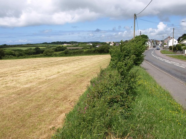
Image: © Derek Harper Taken: 8 Jun 2010
On the right, Parka Road enters St Columb Road. On the left are fields and woodland (Grose Plantation) around the source of a tributary of The Gannel.
Images are licensed for reuse under creativecommons.org/licenses/by-sa/2.0
Image Location
Latitude
50.394397
Longitude
-4.940348