Fairway Court
Introduction
The photograph on this page of Fairway Court by Alan Murray-Rust as part of the Geograph project.
The Geograph project started in 2005 with the aim of publishing, organising and preserving representative images for every square kilometre of Great Britain, Ireland and the Isle of Man.

There are currently over 7.5m images from over 14,400 individuals and you can help contribute to the project by visiting https://www.geograph.org.uk
Fairway Court
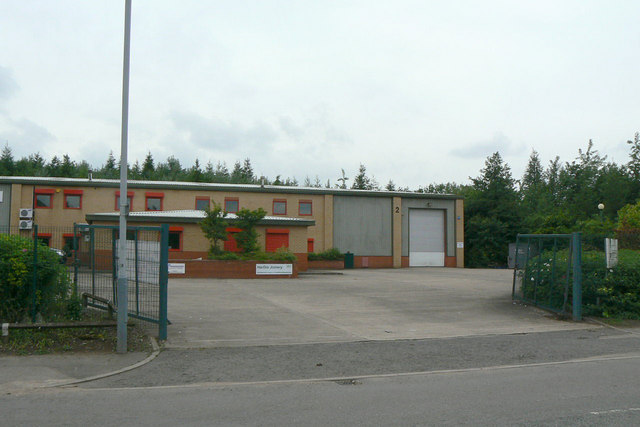
Image: © Alan Murray-Rust Taken: 7 Jun 2010
Industrial units developed as post-coal mining regeneration.
Images are licensed for reuse under creativecommons.org/licenses/by-sa/2.0
Image Location
Latitude
53.036435
Longitude
-1.192416