Disused railway cutting
Introduction
The photograph on this page of Disused railway cutting by Hugh Mortimer as part of the Geograph project.
The Geograph project started in 2005 with the aim of publishing, organising and preserving representative images for every square kilometre of Great Britain, Ireland and the Isle of Man.

There are currently over 7.5m images from over 14,400 individuals and you can help contribute to the project by visiting https://www.geograph.org.uk
Disused railway cutting
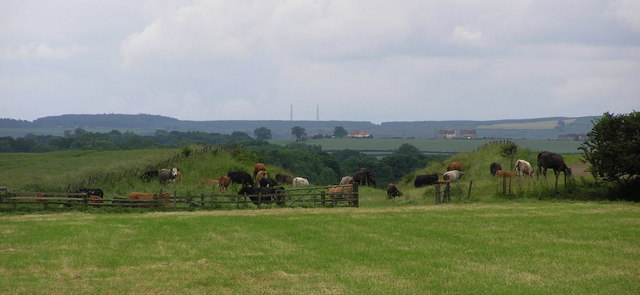
Image: © Hugh Mortimer Taken: 23 Jun 2006
Looking south. Railway cutting, part of the Forcett Railway (private railway 1865-1923) Became part of the LNER until the 1960's.
Images are licensed for reuse under creativecommons.org/licenses/by-sa/2.0
Image Location
Latitude
54.517543
Longitude
-1.715116