Coventry-Nuneaton line, northwards
Introduction
The photograph on this page of Coventry-Nuneaton line, northwards by E Gammie as part of the Geograph project.
The Geograph project started in 2005 with the aim of publishing, organising and preserving representative images for every square kilometre of Great Britain, Ireland and the Isle of Man.

There are currently over 7.5m images from over 14,400 individuals and you can help contribute to the project by visiting https://www.geograph.org.uk
Coventry-Nuneaton line, northwards
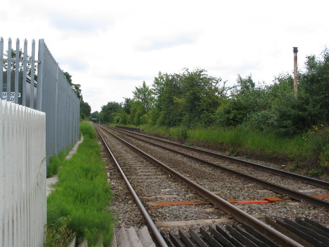
Image: © E Gammie Taken: 9 Jun 2010
A somewhat boring view towards Nuneaton from the Coundon Road level crossing. Very little visible to show that there were once platforms for Coundon Road station here. The station closed in 1965.
Images are licensed for reuse under creativecommons.org/licenses/by-sa/2.0
Image Location
Latitude
52.414241
Longitude
-1.521839