Waterton Lane - Bridgend
Introduction
The photograph on this page of Waterton Lane - Bridgend by Mick Lobb as part of the Geograph project.
The Geograph project started in 2005 with the aim of publishing, organising and preserving representative images for every square kilometre of Great Britain, Ireland and the Isle of Man.

There are currently over 7.5m images from over 14,400 individuals and you can help contribute to the project by visiting https://www.geograph.org.uk
Waterton Lane - Bridgend
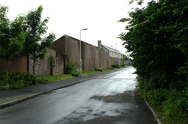
Image: © Mick Lobb Taken: 9 Jun 2010
This section of the lane is open to traffic but only to a few industrial sites and a new housing estate. In this direction it leads back to a dual carriageway linking Bridgend with the M4.
Images are licensed for reuse under creativecommons.org/licenses/by-sa/2.0
Image Location
Latitude
51.497243
Longitude
-3.544096