Riverpark Road
Introduction
The photograph on this page of Riverpark Road by Bill Boaden as part of the Geograph project.
The Geograph project started in 2005 with the aim of publishing, organising and preserving representative images for every square kilometre of Great Britain, Ireland and the Isle of Man.

There are currently over 7.5m images from over 14,400 individuals and you can help contribute to the project by visiting https://www.geograph.org.uk
Riverpark Road
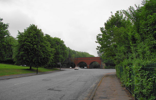
Image: © Bill Boaden Taken: 8 Jun 2010
The road is enormously wide at this eastern end, and I can only presume that it is to allow abattoir lorries to turn round. The arches opposite are the beginning of Clayton Vale.
Images are licensed for reuse under creativecommons.org/licenses/by-sa/2.0
Image Location
Latitude
53.491252
Longitude
-2.186854