Looking east along the A30 at Westcott
Introduction
The photograph on this page of Looking east along the A30 at Westcott by David Smith as part of the Geograph project.
The Geograph project started in 2005 with the aim of publishing, organising and preserving representative images for every square kilometre of Great Britain, Ireland and the Isle of Man.

There are currently over 7.5m images from over 14,400 individuals and you can help contribute to the project by visiting https://www.geograph.org.uk
Looking east along the A30 at Westcott
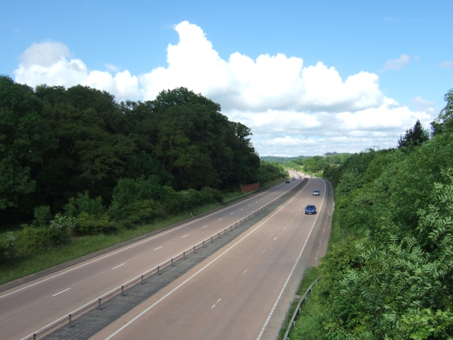
Image: © David Smith Taken: 6 Jun 2010
On the left of the road there is a short stretch of wall. It shields the main road from the lights of traffic on a farm track which passes through the covert and at this point is immediately adjacent to the A30
Images are licensed for reuse under creativecommons.org/licenses/by-sa/2.0
Image Location
Latitude
50.731976
Longitude
-3.377796