Ox Pasture
Introduction
The photograph on this page of Ox Pasture by Simon Carey as part of the Geograph project.
The Geograph project started in 2005 with the aim of publishing, organising and preserving representative images for every square kilometre of Great Britain, Ireland and the Isle of Man.

There are currently over 7.5m images from over 14,400 individuals and you can help contribute to the project by visiting https://www.geograph.org.uk
Ox Pasture
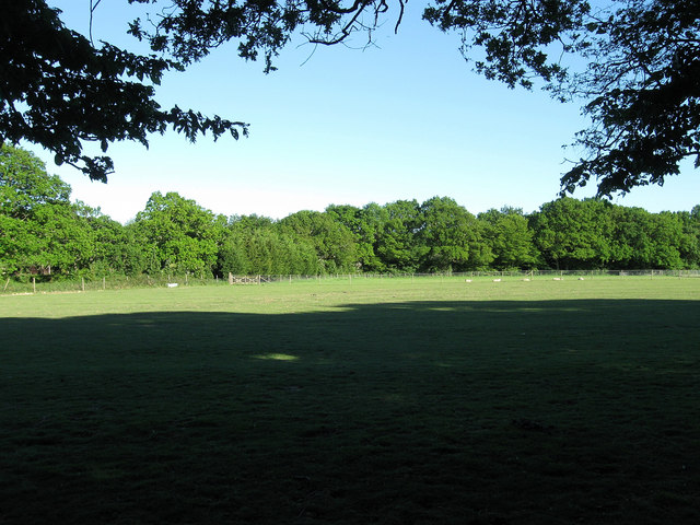
Image: © Simon Carey Taken: 3 Jun 2010
The name of the field according to the 1838 tithe map. The bridleway from Shortgate to Laughton Road lies beyond the far end of the field.
Images are licensed for reuse under creativecommons.org/licenses/by-sa/2.0
Image Location
Latitude
50.911107
Longitude
0.11776