Farmland at Holtridge
Introduction
The photograph on this page of Farmland at Holtridge by Espresso Addict as part of the Geograph project.
The Geograph project started in 2005 with the aim of publishing, organising and preserving representative images for every square kilometre of Great Britain, Ireland and the Isle of Man.

There are currently over 7.5m images from over 14,400 individuals and you can help contribute to the project by visiting https://www.geograph.org.uk
Farmland at Holtridge
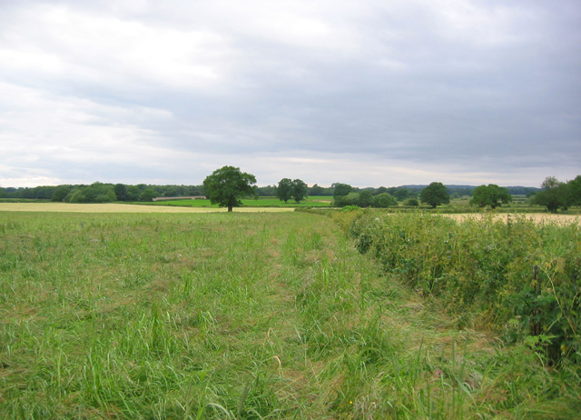
Image: © Espresso Addict Taken: 22 Jun 2006
Near Cholmondeley Brook Farm. The path from Holtridge road to Norbury Common runs through the fallow field to the left of the hedge
Images are licensed for reuse under creativecommons.org/licenses/by-sa/2.0
Image Location
Latitude
53.033768
Longitude
-2.656092