Fallow field, Holtridge
Introduction
The photograph on this page of Fallow field, Holtridge by Espresso Addict as part of the Geograph project.
The Geograph project started in 2005 with the aim of publishing, organising and preserving representative images for every square kilometre of Great Britain, Ireland and the Isle of Man.

There are currently over 7.5m images from over 14,400 individuals and you can help contribute to the project by visiting https://www.geograph.org.uk
Fallow field, Holtridge
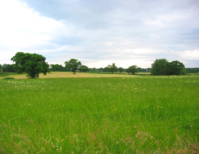
Image: © Espresso Addict Taken: 22 Jun 2006
The Holtridge area is fairly flat, with a mixture of fallow land and hay fields. View immediately to the west of Holtridge road, near the Cholmondeley Brook Farm track
Images are licensed for reuse under creativecommons.org/licenses/by-sa/2.0
Image Location


Leaflet Map data © OpenStreetMap
Latitude
53.033784
Longitude
-2.65311