Footpath junction
Introduction
The photograph on this page of Footpath junction by Lairich Rig as part of the Geograph project.
The Geograph project started in 2005 with the aim of publishing, organising and preserving representative images for every square kilometre of Great Britain, Ireland and the Isle of Man.

There are currently over 7.5m images from over 14,400 individuals and you can help contribute to the project by visiting https://www.geograph.org.uk
Footpath junction
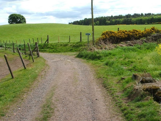
Image: © Lairich Rig Taken: 24 May 2010
Following Image for 240 metres beyond Mydub Farm leads to the three-way junction shown here. The left branch is a Image, while that on the right is a footpath that leads to Chacefield Wood; for a view back along that footpath, see Image For a view back along the section of path in the foreground, see Image
Images are licensed for reuse under creativecommons.org/licenses/by-sa/2.0
Image Location
Latitude
56.015763
Longitude
-3.897313