Footpath from Chacefield Wood
Introduction
The photograph on this page of Footpath from Chacefield Wood by Lairich Rig as part of the Geograph project.
The Geograph project started in 2005 with the aim of publishing, organising and preserving representative images for every square kilometre of Great Britain, Ireland and the Isle of Man.

There are currently over 7.5m images from over 14,400 individuals and you can help contribute to the project by visiting https://www.geograph.org.uk
Footpath from Chacefield Wood
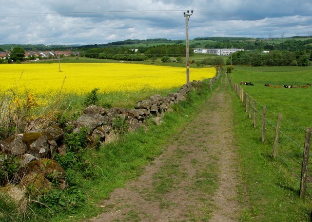
Image: © Lairich Rig Taken: 24 May 2010
The photograph was taken at the point where an eastward-heading footpath turns sharply towards the north. The photograph is a view downhill along that northward section, which leads to a three-way Image The large building in the background, beyond the far end of this section of the footpath, is the new Denny High School, the construction of which was completed a little over a year before this photograph was taken. For another photograph taken from the same point, see Image
Images are licensed for reuse under creativecommons.org/licenses/by-sa/2.0
Image Location
Latitude
56.014773
Longitude
-3.897424