2010 : Minor road between Pucklechurch and Hinton
Introduction
The photograph on this page of 2010 : Minor road between Pucklechurch and Hinton by Maurice Pullin as part of the Geograph project.
The Geograph project started in 2005 with the aim of publishing, organising and preserving representative images for every square kilometre of Great Britain, Ireland and the Isle of Man.

There are currently over 7.5m images from over 14,400 individuals and you can help contribute to the project by visiting https://www.geograph.org.uk
2010 : Minor road between Pucklechurch and Hinton
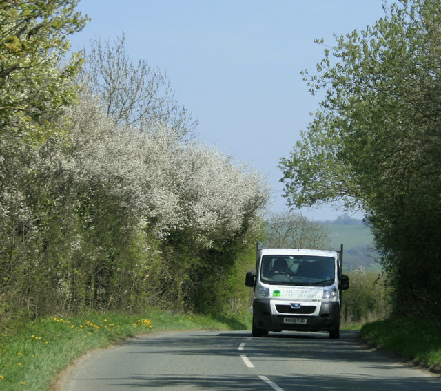
Image: © Maurice Pullin Taken: 23 Apr 2010
At the end of Rookery Lane outside Lower Fields Farm. Looking east, the Cotswolds escarpment can be seen in the distance.
Images are licensed for reuse under creativecommons.org/licenses/by-sa/2.0
Image Location
Latitude
51.488982
Longitude
-2.409564