kensey Valley
Introduction
The photograph on this page of kensey Valley by roger geach as part of the Geograph project.
The Geograph project started in 2005 with the aim of publishing, organising and preserving representative images for every square kilometre of Great Britain, Ireland and the Isle of Man.

There are currently over 7.5m images from over 14,400 individuals and you can help contribute to the project by visiting https://www.geograph.org.uk
kensey Valley
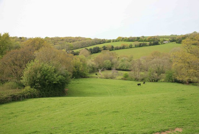
Image: © roger geach Taken: 18 May 2010
Down in the valley there is the river Kensey and the second line of trees mark the course of the old North Cornwall Railway trackbed.
Images are licensed for reuse under creativecommons.org/licenses/by-sa/2.0
Image Location
Latitude
50.640935
Longitude
-4.430375