Northaw Road West
Introduction
The photograph on this page of Northaw Road West by Martin Addison as part of the Geograph project.
The Geograph project started in 2005 with the aim of publishing, organising and preserving representative images for every square kilometre of Great Britain, Ireland and the Isle of Man.

There are currently over 7.5m images from over 14,400 individuals and you can help contribute to the project by visiting https://www.geograph.org.uk
Northaw Road West
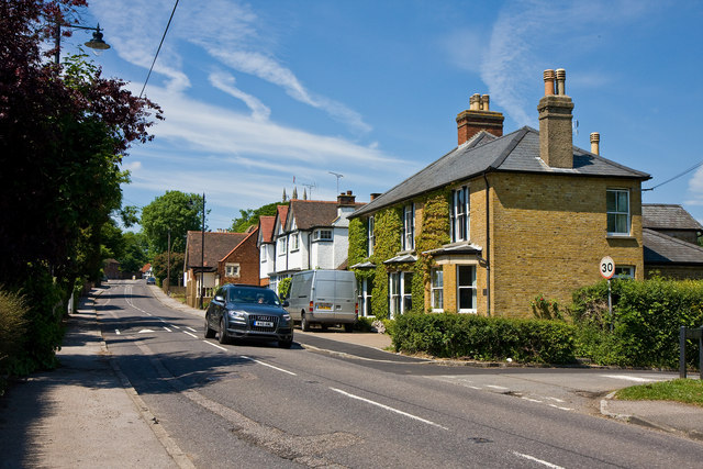
Image: © Martin Addison Taken: 2 Jun 2010
At the east end of the centre of Northaw on the B156. A group of houses of varying shapes and sizes stand close to the junction with Church Lane
Images are licensed for reuse under creativecommons.org/licenses/by-sa/2.0
Image Location
Latitude
51.703676
Longitude
-0.14878