Shortgate Wood
Introduction
The photograph on this page of Shortgate Wood by Simon Carey as part of the Geograph project.
The Geograph project started in 2005 with the aim of publishing, organising and preserving representative images for every square kilometre of Great Britain, Ireland and the Isle of Man.

There are currently over 7.5m images from over 14,400 individuals and you can help contribute to the project by visiting https://www.geograph.org.uk
Shortgate Wood
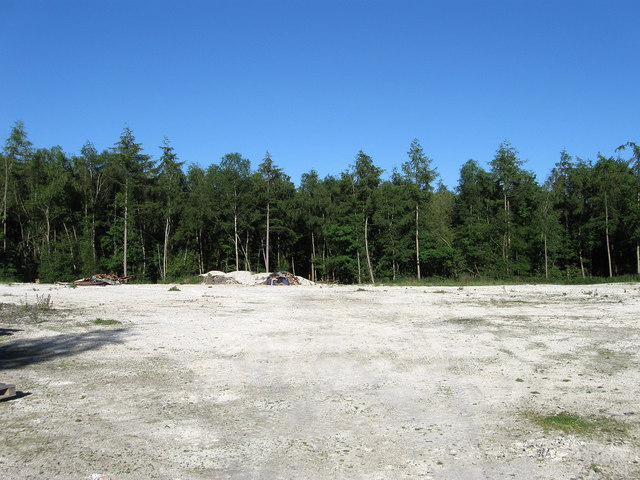
Image: © Simon Carey Taken: 3 Jun 2010
The clearing is to the rear of Marlie Farm. The wood itself is fairly recent having previously been part of Shortgate Common until its enclosure in the early 19th century though it was marked as a wood on the 1838 tithe map.
Images are licensed for reuse under creativecommons.org/licenses/by-sa/2.0
Image Location
Latitude
50.913652
Longitude
0.12129