Northland Avenue
Introduction
The photograph on this page of Northland Avenue by Bill Boaden as part of the Geograph project.
The Geograph project started in 2005 with the aim of publishing, organising and preserving representative images for every square kilometre of Great Britain, Ireland and the Isle of Man.

There are currently over 7.5m images from over 14,400 individuals and you can help contribute to the project by visiting https://www.geograph.org.uk
Northland Avenue
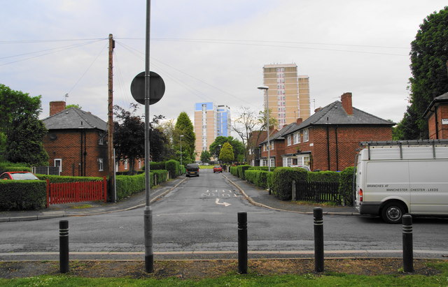
Image: © Bill Boaden Taken: 7 Jun 2010
The northern section of the road beyond the roundabout. The high rise blocks are known as the Vicky Avenue Flats, and they have been considerably refurbished recently.
Images are licensed for reuse under creativecommons.org/licenses/by-sa/2.0
Image Location
Latitude
53.526567
Longitude
-2.193044