Burdett Street, Ramsbury
Introduction
The photograph on this page of Burdett Street, Ramsbury by Gordon Hatton as part of the Geograph project.
The Geograph project started in 2005 with the aim of publishing, organising and preserving representative images for every square kilometre of Great Britain, Ireland and the Isle of Man.

There are currently over 7.5m images from over 14,400 individuals and you can help contribute to the project by visiting https://www.geograph.org.uk
Burdett Street, Ramsbury
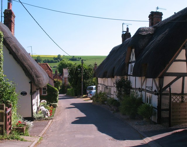
Image: © Gordon Hatton Taken: 3 Jun 2010
Named after the family that once owned Ramsbury Manor, Burdett Street has several thatched cottages to either side. Some date back as far as the 16th century, and all are timber framed with brick, rubble or wattle infil.
Images are licensed for reuse under creativecommons.org/licenses/by-sa/2.0
Image Location


Leaflet Map data © OpenStreetMap
Latitude
51.44256
Longitude
-1.608739