2010 : A39 heading south west
Introduction
The photograph on this page of 2010 : A39 heading south west by Maurice Pullin as part of the Geograph project.
The Geograph project started in 2005 with the aim of publishing, organising and preserving representative images for every square kilometre of Great Britain, Ireland and the Isle of Man.

There are currently over 7.5m images from over 14,400 individuals and you can help contribute to the project by visiting https://www.geograph.org.uk
2010 : A39 heading south west
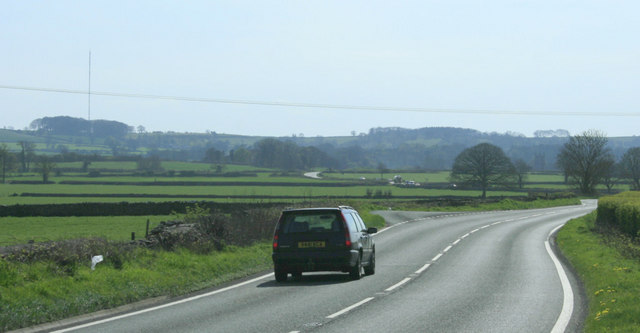
Image: © Maurice Pullin Taken: 20 Apr 2010
Chewton Mendip next, about a mile and a half, then on over the high Mendips to Wells. Passing Pen Hill with its TV transmitter, seen here. Image
Images are licensed for reuse under creativecommons.org/licenses/by-sa/2.0
Image Location


Leaflet Map data © OpenStreetMap
Latitude
51.287501
Longitude
-2.556471