Braehead Moss
Introduction
The photograph on this page of Braehead Moss by Richard Webb as part of the Geograph project.
The Geograph project started in 2005 with the aim of publishing, organising and preserving representative images for every square kilometre of Great Britain, Ireland and the Isle of Man.

There are currently over 7.5m images from over 14,400 individuals and you can help contribute to the project by visiting https://www.geograph.org.uk
Braehead Moss
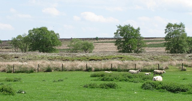
Image: © Richard Webb Taken: 4 Jun 2010
Raised bog, now a national nature reserve. View across one of the fields that was once reclaimed from the peat land.
Images are licensed for reuse under creativecommons.org/licenses/by-sa/2.0
Image Location
Latitude
55.745782
Longitude
-3.669742