The King William IV, Curry Rivel
Introduction
The photograph on this page of The King William IV, Curry Rivel by Maigheach-gheal as part of the Geograph project.
The Geograph project started in 2005 with the aim of publishing, organising and preserving representative images for every square kilometre of Great Britain, Ireland and the Isle of Man.

There are currently over 7.5m images from over 14,400 individuals and you can help contribute to the project by visiting https://www.geograph.org.uk
The King William IV, Curry Rivel
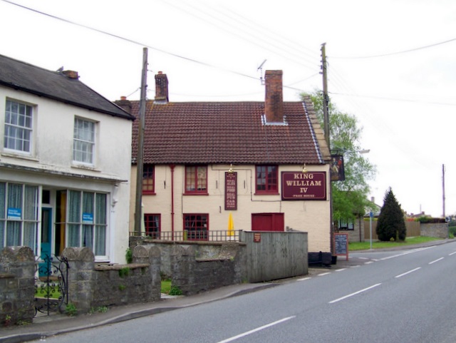
Image: © Maigheach-gheal Taken: 5 May 2010
The pub stands beside the A378, the High Street. For a closer view of the sign Image
Images are licensed for reuse under creativecommons.org/licenses/by-sa/2.0
Image Location
Latitude
51.02201
Longitude
-2.872516