Bishopton Mill Fishing Pond.
Introduction
The photograph on this page of Bishopton Mill Fishing Pond. by Hugh Mortimer as part of the Geograph project.
The Geograph project started in 2005 with the aim of publishing, organising and preserving representative images for every square kilometre of Great Britain, Ireland and the Isle of Man.

There are currently over 7.5m images from over 14,400 individuals and you can help contribute to the project by visiting https://www.geograph.org.uk
Bishopton Mill Fishing Pond.
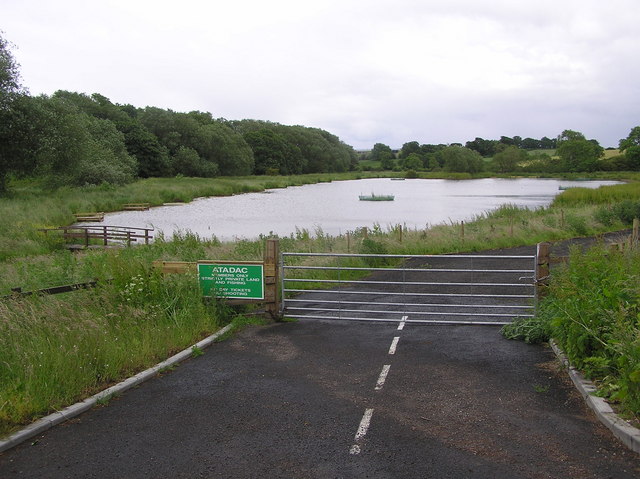
Image: © Hugh Mortimer Taken: 21 Jun 2006
Association of Teesside & District Angling Clubs : 10 angling platforms for the disabled, elderly and disadvantaged.
Images are licensed for reuse under creativecommons.org/licenses/by-sa/2.0
Image Location
Latitude
54.595455
Longitude
-1.414164